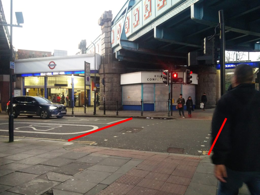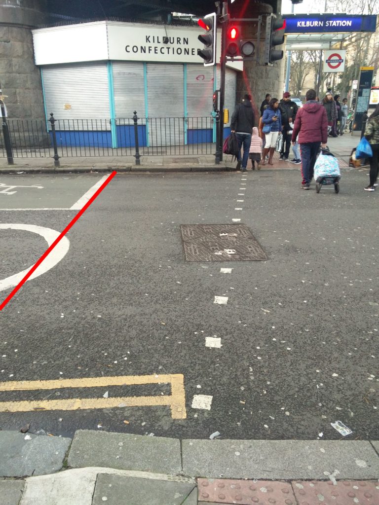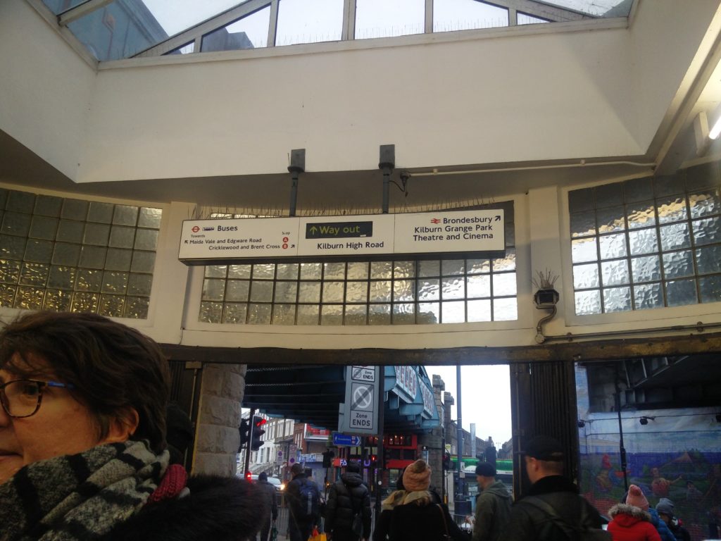
Brent have secretly devised plans to change the public realm around Kilburn station. One of our reader alerted us to the ‘secret’ consultation that is open till the 6th January 2020. Unfortunately this consultation has not been publicised. Here is the consultation.
Here is the map of proposed changes with the very significant issue that the map does not reflect the situation on the ground. So the map below shows what the actual situation is, as best as we can (structures drawn, pedestrian crossings as they are positioned currently etc…).
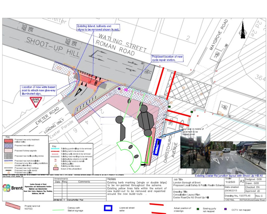
Firstly we must acknowledge that we do welcome the fact that finally, the long promised public realm and safety improvements that we have been promised since 2013 might happen. We deplore the fact that the proposed plans have not been discussed with local residents nor visibly been informed by hard data. We welcome the narrowing of the crossing of Exeter Road, the addition of bike parking spaces in Exeter Road (altough not covered see below), the resurfacing of pavements and the removal of guardrails (although guardrails on the South side of Christchurch Avenue have already been removed). However the proposals are ill informed and will not improve the usability of Kilburn station as they concentrate on the Exeter Road side, the least used part of the station!
We believe that the first steps to improving the public realm of a busy station should be the gathering of hard facts, ie current layout, pedestrian flows, pedestrian desire lines, cycle parking demand. Unfortunately Brent do not seem to have performed any of this. The plan atttached to the consultation is very wrong, ie pedestrian crossings are not in the right place, structures are not shown. This has led Brent in their wisdom to suggest 3 bike parking spaces in what currently is a pedestrian crossing!!!! (Christchurch Avenue side). Also the location for the bench is in the space reserved for the licenced street seller! We would have hoped that Brent would have consulted this widely available document from TFL before undertaking any recommendation. A quick look at page 25 would have informed the fact that a width of 4.2m pavement needs to be made available in areas with a 600 to 1200 people per hour flow for a comfortable experience and a minimum of unobstructed 2.2m as per Dft minimum standard. This is unfortunately not achieved in the proposed plan…. So we decided to look at the hard facts.
Facts about Kiburn Station:
- 8.6 Mio entries/exits per year in 2017. (That’s on a week day 13500 entries and 12700 exits!) (TFL data)
- struggling business units that bring life to the surroundings, Kilburn Flowers closed 14 Months ago, Kilburn Confectionnery closed last month.
- street selling licence for fruit/vegetable seller directly outside the station on Christchurch Avenue as shown on our plan.
- 2 bins to serve 26200 entries/exists per day
- Kilburn is the only Jubilee Line fully accessible (step free) station between Wembley Park and Bond Street, thus important to make surroundings accessible.
- 2 bus stations (heavily used) serve commuters to Kilburn Station, Bus stop B in front of Garlinge Road and Bus stop A in front of 405 Kilburn High Road (5 bus lines with an average 8.5 buses per hour each, ie 45 buses per hour).
- Kilburn station is an interchange station with Brondesbury Station.
- Cycle Quiet Way 3 in Christchurch Avenue.
- very narrow pedestrian crossings, heavily congested especially at peak times.
- narrow congested pavement between Shoot-up Hill and station’s entrance on ChristChurch Avenue.
- A front station canopy that leads to a pedestrian guard rail!
- currently 6 cycle racks and railing used as cycle parking
- Surroundings of the station are overhung by 3 bridges ( 1 National Rail Bridge, 2 TFL bridges), thus very dark and subject to pigeon invasions and associated pigeon mess.
We looked at the pedestirans flow by the station. The station is used by different types of users. A signifcant number of users use bus stops A (on Kilburn High Road) and B (in front of Garlinge Road). Local residential users travel on foot via the different approaches while visitors mainly use the approach via the West of Kilburn High Road. We stood at the station for 5 periods on 3rd January 2020 and came up with the pedestrian flows below.
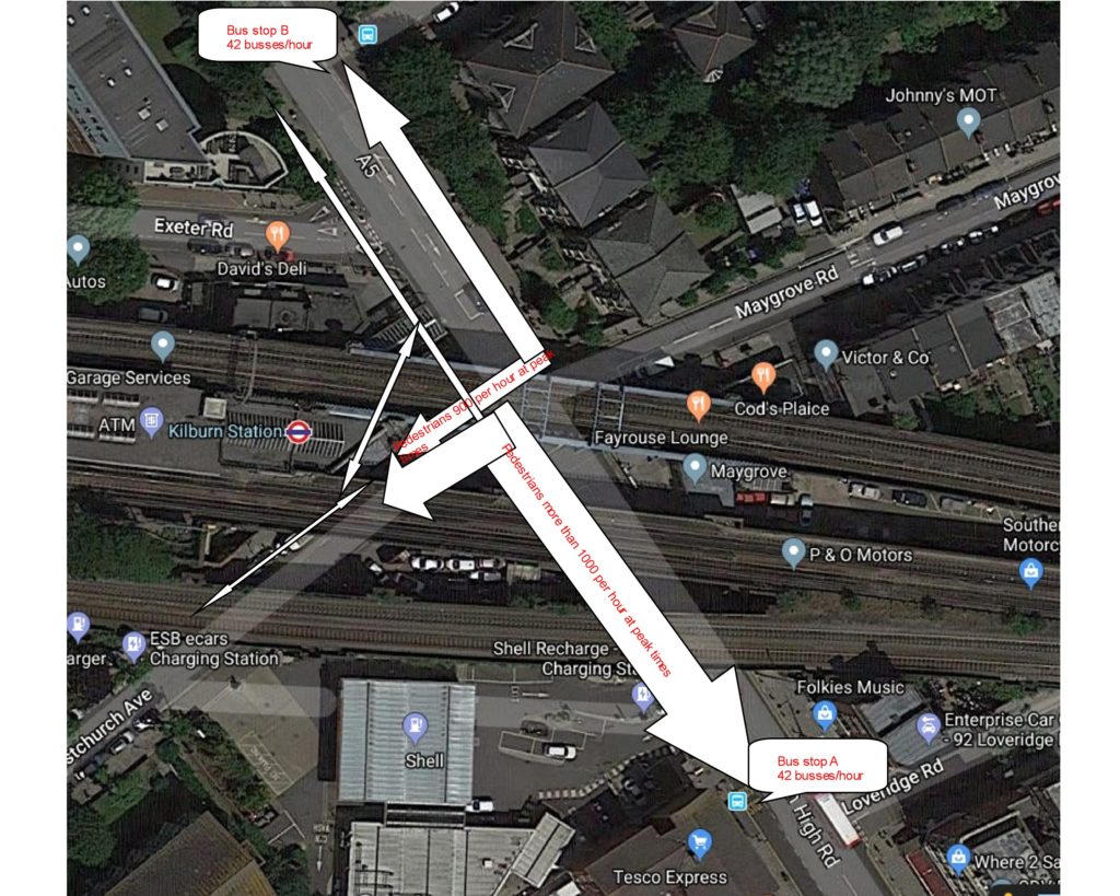
From our research it is quite clear that the most used parts of the infrastructure are:
- 1 Pedestrian crossing on Christchurch Avenue (more than 1000 persons per hour at peak times)
- 2. Pavement on the North of Christchurch Avenue between station entrance and corner with Shoot-up Hill (more than 1900 persons per hour at peak times)
- 3. Shoot-up-Hill Crossing (900 persons per hour at peak times)
So one would have thought that any improvement to the station area should have concentrated in these 3 points to provide a more comfortable and welcoming space for pedestrians or to help equalise the flow by giving an incentive for pedestrians to use other spaces. Unfortunately the plans (inaccurate) propose to add 3 cycle racks (2 of which on the Christchurch Avenue pedestrian crossing), no repositioning or removals of poles obstructing the pavement just outside the station and addition of a bench in the space used by the street seller! No improvements are suggested for the most used parts of the station surroundings.
So what could have been proposed in the most used parts surrounding the station?
- Widening of pedestrian crossing on Christchurch Avenue from the current 3m width to 5 or 6 meters. This is the required width for pedestrian fllows of more than 1000 persons per hour. This would alleviate pedestrian congestion in front of Kilburn Confectionery and in front of the mural.
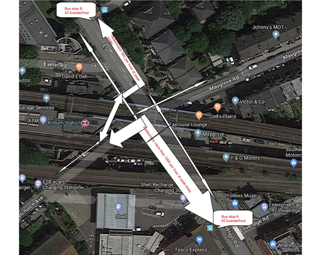
- Repostioning/widening of crossing on Shoot-up-Hill to incentivise users of bus stop B to divert their route to the space in between Kilburn Confectionery and Noor Mobiles rather than via the pavement on Christchurch avenue. The pavement on the East side of Shoot-up-Hill is always crowded by the pedestrians crossing and a large number of people cross from the bus stop to Exeter Road in an unsafe mannner as a result. It would be nice to have a crossing on Shoot-up-Hill outside the station canopy!
- Removal/repositioning of traffic sign poles on Christchurch Avenue outside the station. There are currently one light column and 2 traffic sign posts, one of which is about 70 cmm away from the kerb , in the middle of the pavement
- increase the bike parking spaces significantly to incentivise active travel.
- provide seating in less used area around the station
- reinstate the lighting of the Murals to make the area more welcoming
- review lighting provision on the corner of Shoot-up-Hill and Christchurch Avenue.
Increase Width of Christchurch Avenue crossing
Change flow of pedestrians using bus stop B by relocating/increasing the width of pedestrian crossing on Shoot-Up-Hill
Below is the map of potential revised pedestrian flows if the crossing on Shoot-Up-Hill was widened to start in front of the station canopy. This also would benefit thecommercial units (Kilburn Flowers, Noor mobiles), bringing more footfall, while alievating congestion at the corner of Shoot-up-Hill and Christchurch Avenue.
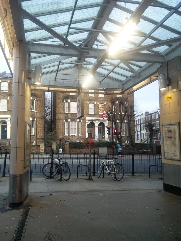
the canopy to nowhere 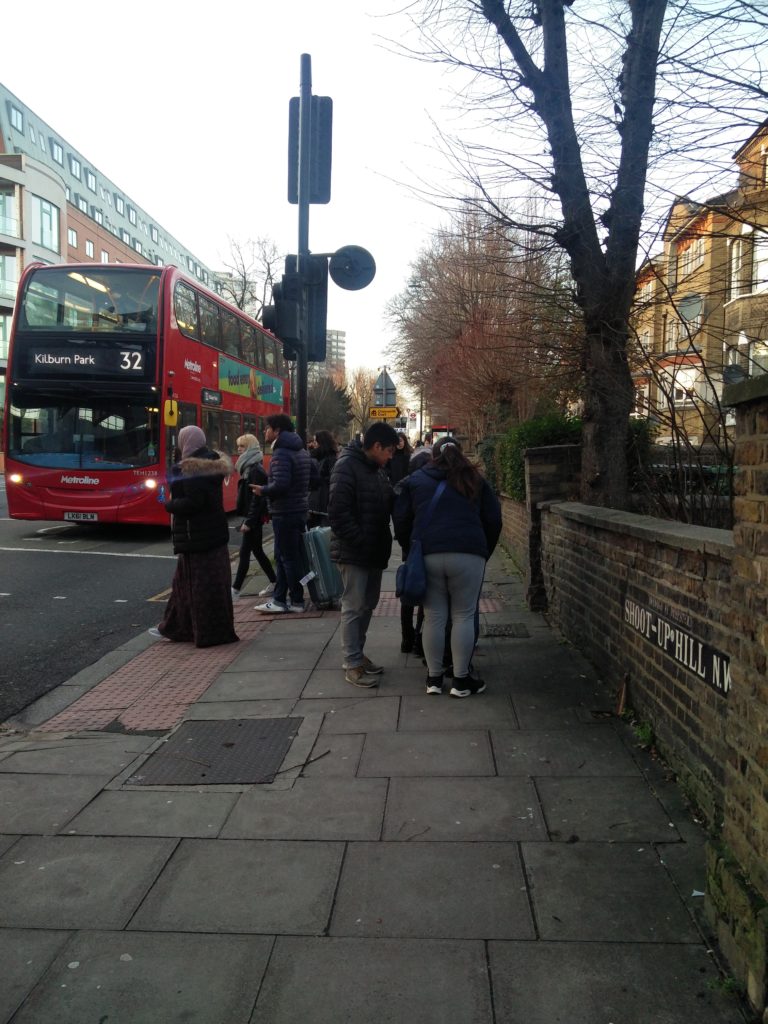
congestion 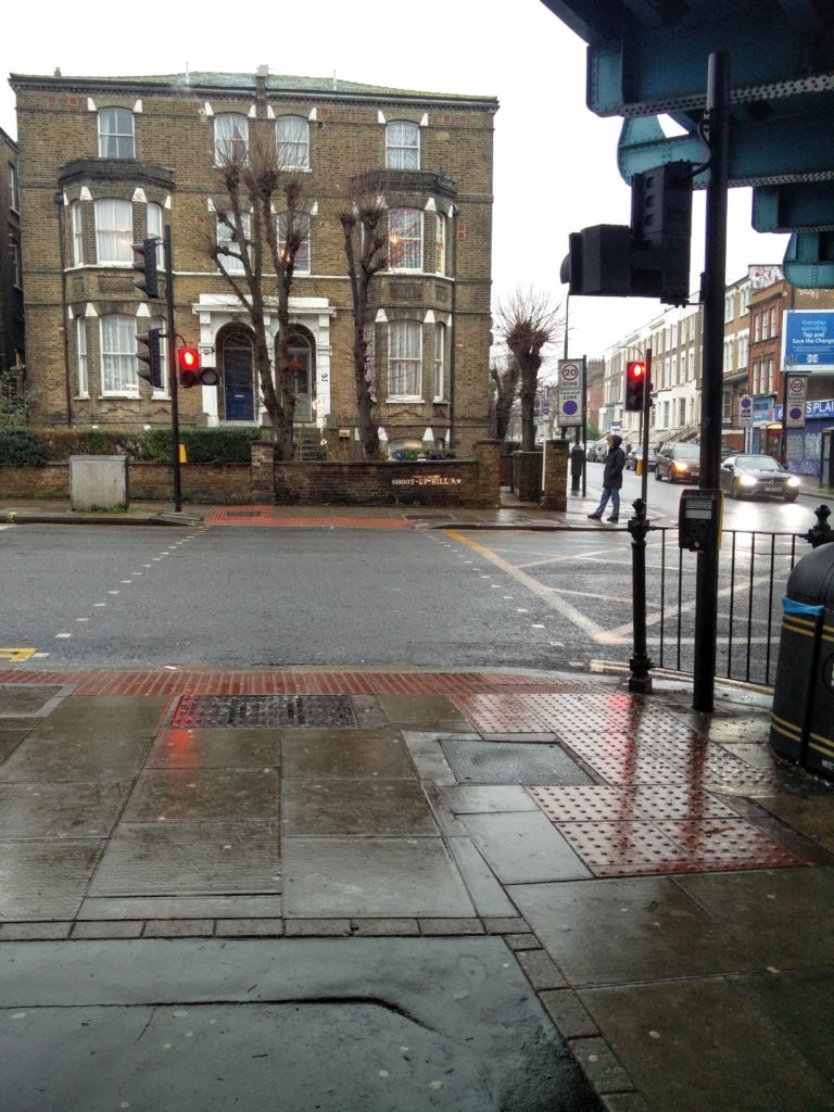
Current crossing 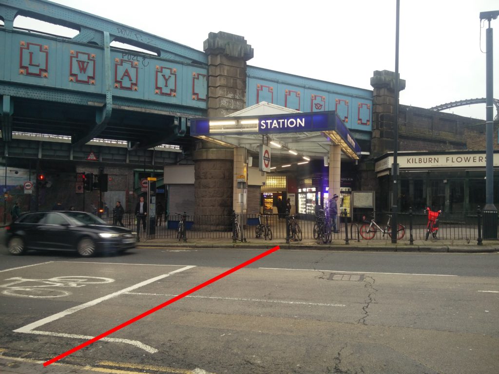
proposed position of crossing
Rationalise/Reposition traffic sign posts outside station to free up pavement space
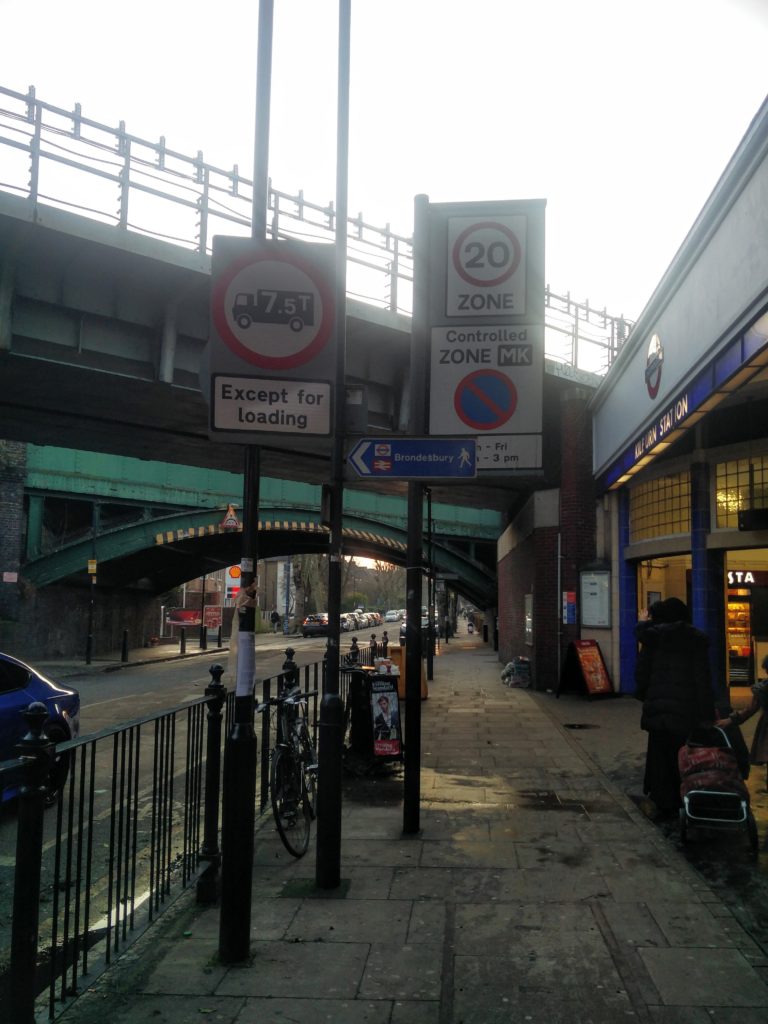
2 traffic signs and one light fitting looking west 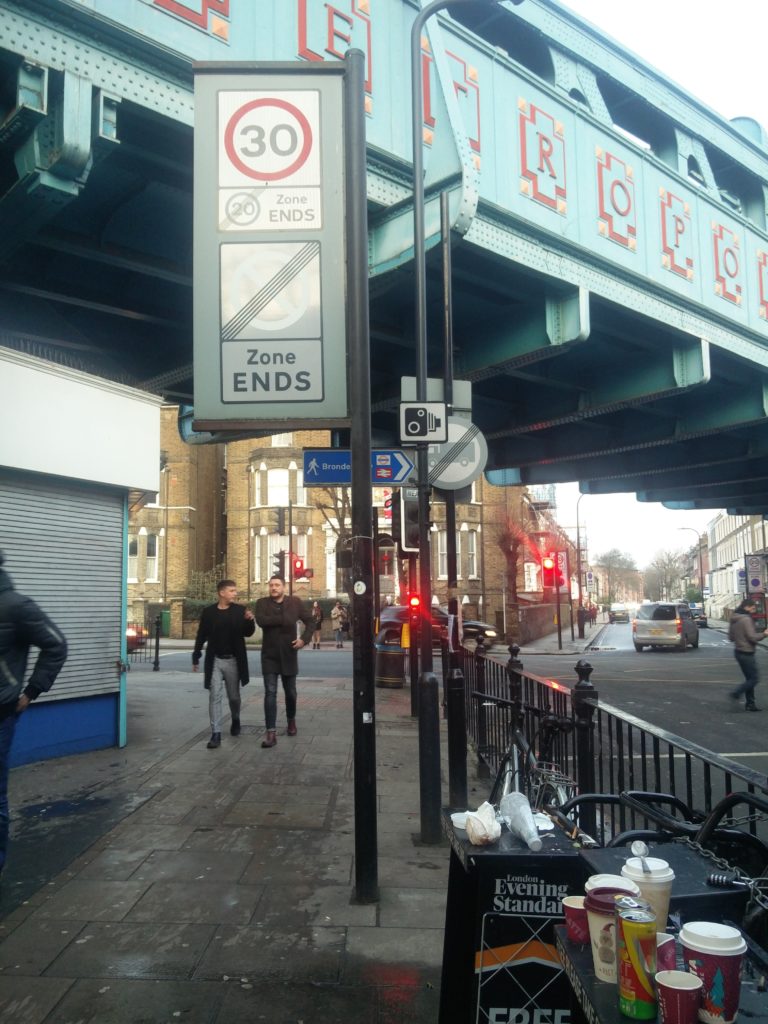
2 traffic signs and one light fitting looking east and mess due to no bin outside station exit.
Provide additional Cyles parking
Currently there are 12 dedicated parking spaces at Kilburn Station, and a number of cyclists are using the pedestrian guardrails to secure their cycle. We counted 10 cycles secured to railing on 27th December. Thus currenty the layout allows for 22 cycles to be parked.The proposal involves 14 covered spaces on Exeter Road and 6 spaces right on the pedestrian crossing on Christchurch Avenue, a total of 20 spaces as the pedestrian guardrails will be removed. The is a laudable proposal except that the covered cycle space will obstruct the frontages of ‘Kilburn Flowers’ and David’s Deli. Not what is needed for strtuggling businesses! The 6 spaces by the pedestrian crossing on Christchurch Avenue are positioned on the narrowest and most used pedestrian space outside the station and on the current pedestrian crossing. About 15000 of the 20000 daily users of the station use this space. Thus we would recommend having 14 (uncovered) spaces on Exeter road and 20 covered spaces on the road in Christchurch Avenue (where the taxi rank for 2 taxis is and possibly taking space of the pay and display bay). Christchurch Avenue is the Quiet Cycle way 3, and this is where most cycle parking spaces should be. The cycling repair station could also be positioned at this location, that is far less busy than the front of the station. This location is less than 15 meters to the station entrance.
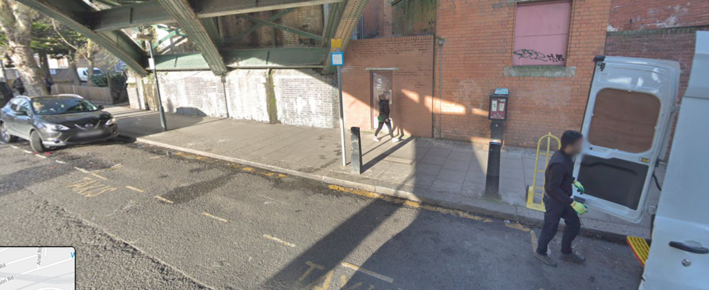
Provide seating area
We are not specialist but the suggested bench location is in the licenced street seller space. The much needed seating area could be located on the Shoot-Up-Hill part of the station frontage ie in front of the stone pilar by Kilburn Confectionery or along the kerb side on the newly enlarged pavement near the junction of Exeter Road
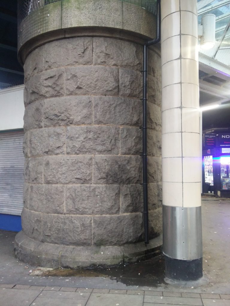
Other enhancements:
Lighting around station, reinstatement of mural lighting, removal/repositioning of this obstructing sign on Kilburn High Road, repaving, addition of adequately located public bins (2 bins for 8.6 Milliion users a year are not sufficient), resurfacing of pavements, more wayfinding signs, repositioning of CCTV Cameras infrastructure at corner of Christchurch Avenue and Kilburn High Road and at corner of Exeter Road and Shoot-Up-Hill. We would also welcome adequate pigeon proofing of structures, as the surroundings of the station are plagued with pigeon mess.
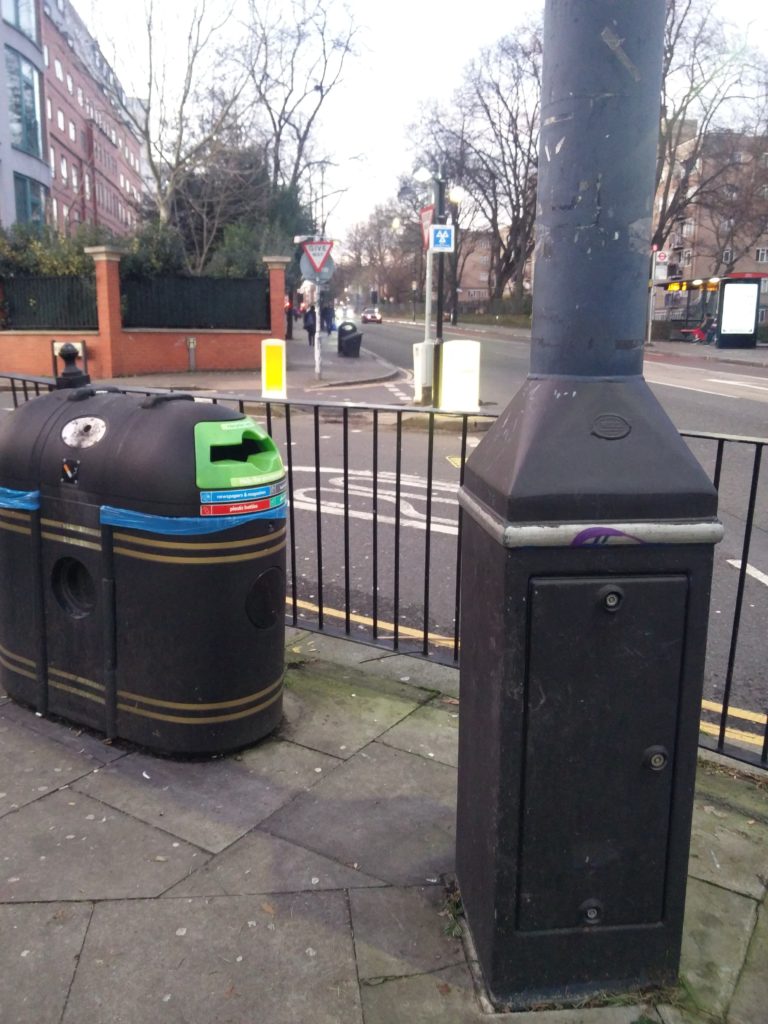
CCTV Pole corner of Exeter Road 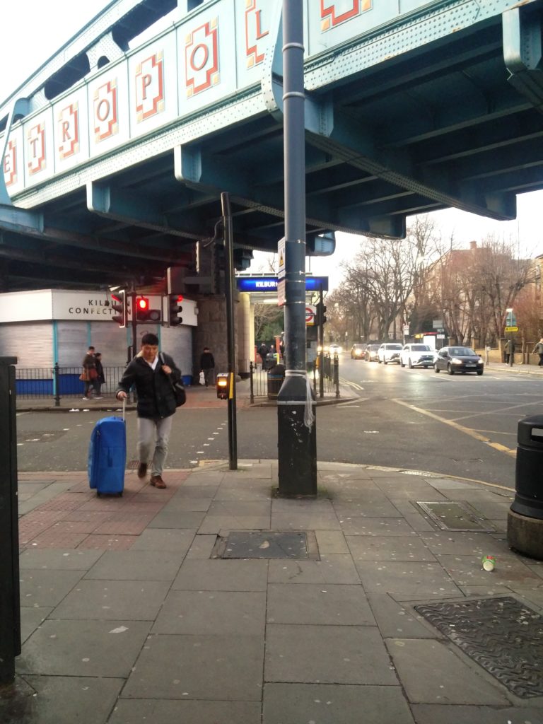
CCTV pole corner of Kilburn High Road in middle of pavement 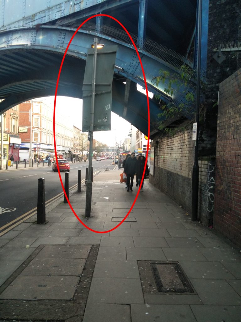
Is there no better use of pavement space? 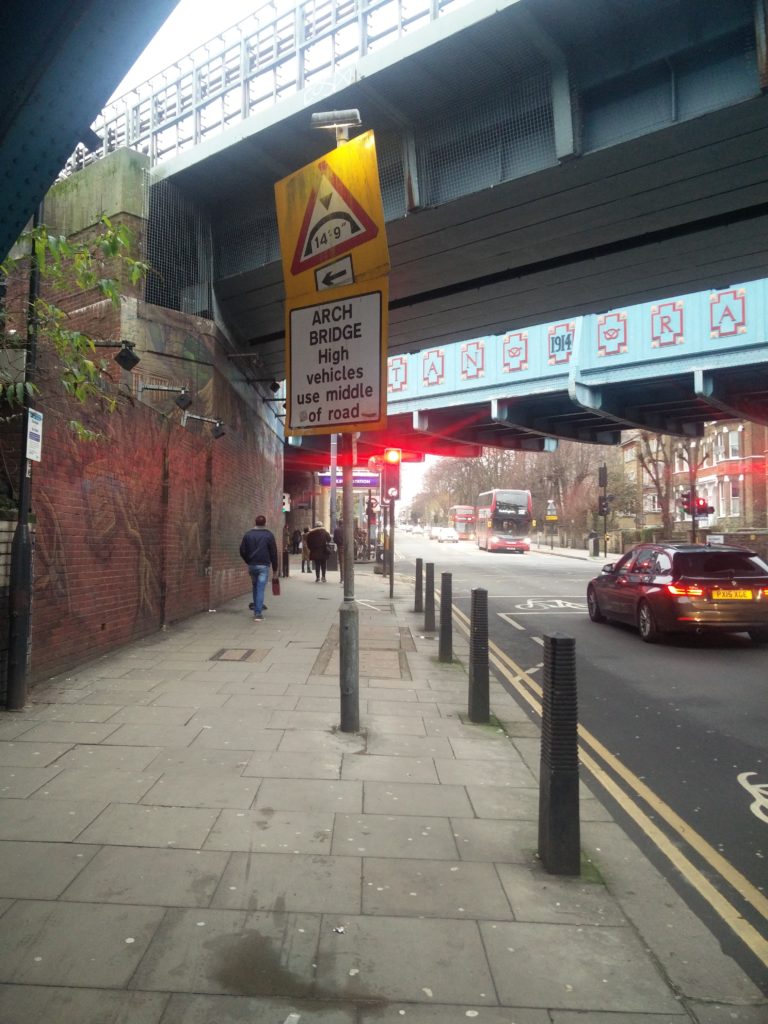
Welcome to Kilburn, Dirty, wonky sign in middle of pavement

